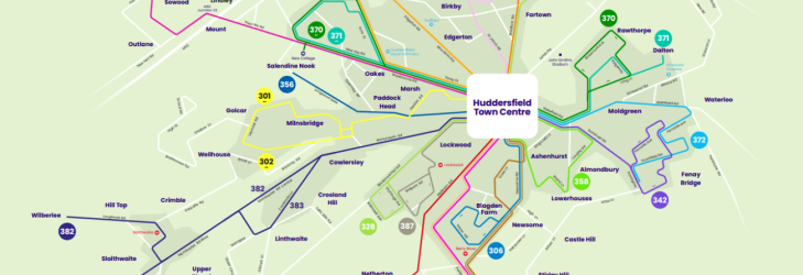
Network maps
The Leeds Core Bus Network is made up of 18 bus lines for services that run every 15 minutes or better. With colour-coded bus lines, maps and improved information at bus stops, it's never been easier to travel around Leeds.
The Leeds Core Bus Network is made up of 18 bus lines for services that run every 15 minutes or better. With colour-coded bus lines, maps and improved information at bus stops, it's never been easier to travel around Leeds.
3rd - 9th October
Services affected: 382
Diversions as follows:
Towards Huddersfied B-S:
Longlands Road and Bank Gate to mini roundabout, taking 3rd exit to resume the usual route.
Towards Wilberlee:
Slaithwaite, Church Street, Banks Gate and Longlands Road.
Last updated [04/10/25, 11:05]
16/10-18/10 19:00 – 06:00
MARSH LANE CLOSURE
Services towards York Road will operate via the Bus Station, St. Peters Street, Regent Street, Skinner Lane, Lincon Green Road, Accommodation Road, Nippet Lane, Torre Road, York Road resuming normal route.
Towards City Centre: Normal route
Services 4 16 49 50
Marsh Lane Closure Inbound
16/10-18/10 19:00 – 06:00
Services towards Bramley/Pudsey/Horsforth will operate via Burmantofts Street, York Road, the City Centre and resume normal route
Towards Seacroft/Monkswood; Bus Station, St. Peters Street, Regent Street, Skinner Lane, Lincon Green Road, Beckett Street, Accommodation Road, Nippet Lane resuming normal route.
Due to Bridge Street Closure, services are diverted.
Services affected: 310, 314, 316
Diversions as follows, until further notice:
Towards Hepworth/Holme/Parkhead:
Services will operate via Suzuki Garage & Albert Street.
*UPDATED*
This is until the 30th of January 2027.
(18:33 03/10/2025)
Due to the John Williams St Bridge Closure, the services are diverted.
All services are diverting via the Ring Road
*UPDATED*
This diversion will be in place until the 6th of October 05:00.
(18:23 03/10/2025)